This is G. Blaeu's remarkable c. 1635 map of the northeastern parts of South America , Lake Parima (Parime Lacus), and the route to El Dorado . Blaeu initially issued this map in 1630 and variants were published well…
SaveSource ↗Back to canvasMoodboard · coming soon
Image from the source collection

Related

Close in palette, light and contrast · computed

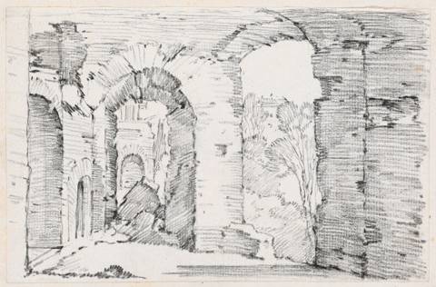
The image is a sketch of an architectural ruin viewed from a slightly elevated point. It shows a series of arches extending into space, with a horizon line that is not distinct but suggests depth as the arches recede…Capped Bottle, Unknown AmericanThe image shows an architectural scene with stone steps leading up to an ornate fountain featuring a tall standing sculpture. A large rounded archway with sculpted details is in the background, surrounded by trees.

In contrast

Similar light, opposite temperature · computed

Polish Air Force Mikoyan-Gurevich MiG-29A Fulcrum (reg. 105, cn 2960535105) at ILA Berlin Air Show 2016.Lilac-breasted roller in flight in Etosha National ParkPurple roller in Etosha National Park, Namibia